 Visit & Connect With OWU Group VisitsVISIT OUR BEAUTIFUL CAMPUS & CONNECT WITH US
Use the drop down to find the visit experience that works best for you!
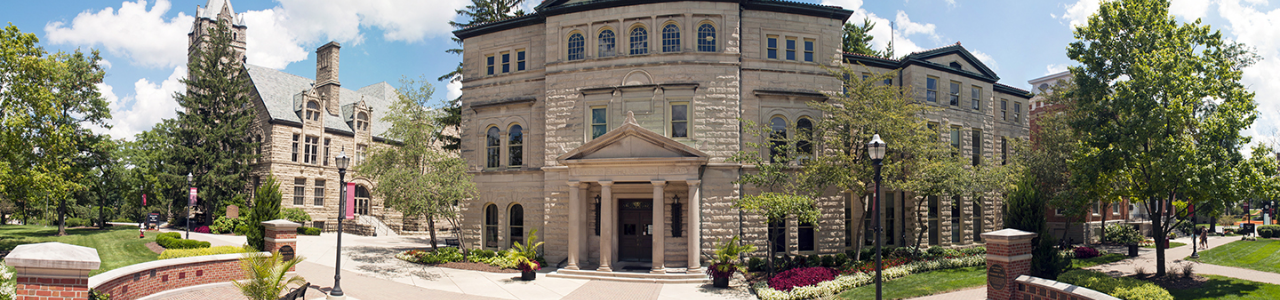
Weekday and Saturday Campus Visits
Tour our tree-lined campus with a current student, sit in on a class, meet with professors and coaches, and learn about our admissions process. Open HousesCome for an up-close look at OWU! Tour campus, hear more about your academic interests, attend information sessions on topics of your choice, and enjoy lunch with current students and staff. Register NowOWU Virtual TourTake an online tour of our historic campus and state-of-the-art academic and athletic facilities. Explore CampusLive Virtual Campus Tour
Self-Guided TourStop by and take our self-guided tour, complete with QR codes for views inside our buildings. Park in the guest lot at Park Avenue and Sandusky Street and grab a map by the clock tower! Learn MoreOWU Marching Bishops Visit DayCalling all high school band students! Visit campus and experience a full OWU game day with the band in the stands. Plus, learn more about our admission and scholarship process. Register NowChat One-On-One With Your Admissions CounselorQuestions? Choose a time that works best for you and schedule a chat with your admissions counselor. Connect with UsOff-Campus ReceptionsWe're eagerly anticipating the chance to connect with you at an off-campus OWU reception in your area. Mingle with various OWU community members – be it admission representatives, alumni, students, or parents. Immerse yourself in discussions about the abundant opportunities on campus and create lasting connections that extend beyond the reception. Connect with UsBishop+ (Esports)In these live and pre-recorded sessions, you'll hear from panels of OWU students, staff, and faculty who answer common questions asked by students like you! Register NowBishop+In these live and pre-recorded sessions, you'll hear from panels of OWU students, staff, and faculty who answer common questions asked by students like you! Connect With UsVirtual Events for International StudentsJoin these live sessions with our international admissions counselor. We’ll answer common questions about our international admissions process, academics, and more. Connect With UsAdmitted Student Days
Exclusively for admitted students, whether you have made your decision to attend OWU or not! Visit OWU and get a slice of college life with information sessions on topics of your choice and residence hall and facilities tours. Connect with other future Bishops, current students, and faculty. Consider ScienceConsidering studying STEM in college? Visit an OWU science course, hear from students who participated in our summer science research program, and participate in fun interactive science activities! Register NowHigh School Visits and College FairsOWU is coming to you! See if we’re traveling to your area or high school soon. Meet with an admissions counselor and learn more about OWU during your college search. Register NowOff-Campus InterviewsOWU might be near you! Come meet with your admission counselor and casually discuss the opportunities on campus and throughout greater Columbus, our admissions process, and your application credentials. Register Now2024 Virtual Scholarship CompetitionStudents with exceptional academic achievements will compete in an essay writing assignment and group discussion for the Schubert and Wesleyan Scholarships. There are three competition dates to choose from, two are held in-person and one is held virtually. Invited students will receive additional information on how to register via mail and email. Registration is also available in the student’s applicant portal. Invite Only2024 Scholarship CompetitionsStudents with exceptional academic achievements will compete in an essay writing assignment and group discussion for the Schubert and Wesleyan Scholarships. There are three competition dates to choose from, two are held in-person and one is held virtually. Invited students will receive additional information on how to register via mail and email. Registration is also available in the student’s applicant portal. Invite OnlyOWU Visit AwardWe think it’s so important that you experience our beautiful campus in person that we are offering students an OWU Visit Award worth $4,000 ($1,000 each year)! Any student who visits before December 15 of their senior year and enrolls at OWU for the fall semester will be eligible for the OWU Visit Award. This award will be in addition to any merit-based scholarships you receive upon admission to OWU. 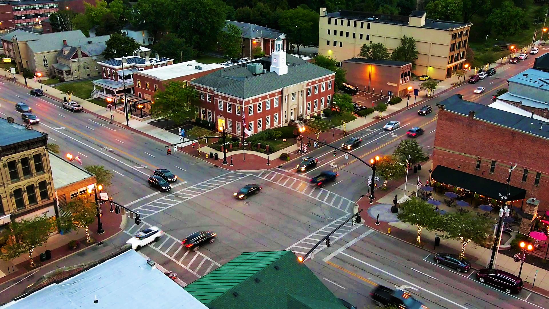 Delaware: Our HometownOur hometown of 39,000 residents is one of the top 20 fastest-growing areas in the country. And there are heaping helpings of things to do in and around Historic Downtown Delaware. First Friday events on Sandusky Street. Farmers Market Saturdays. Art. Music. Theatre. Restaurants. Shops. Outdoor activities. Volunteer opportunities. Columbus: Our Favorite Big CityOWU is just 30 minutes from Columbus, the 14th-largest city in America, so it's easy to dig into all that the city has to offer. From pro sports and eclectic restaurants to major concerts, art galleries, and shopping, Columbus is a major destination. Not to mention you’ll have opportunities for impressive internships and work experiences.  Getting to OWUThe Admission and Financial Aid offices are thrilled to welcome visitors to the newly renovated, historic Slocum Hall. Parking is available in the East parking Lot, off of Sandusky Street, just north of Edwards Gymnasium. There will be marked spaces for admission guests on the north side of this lot. 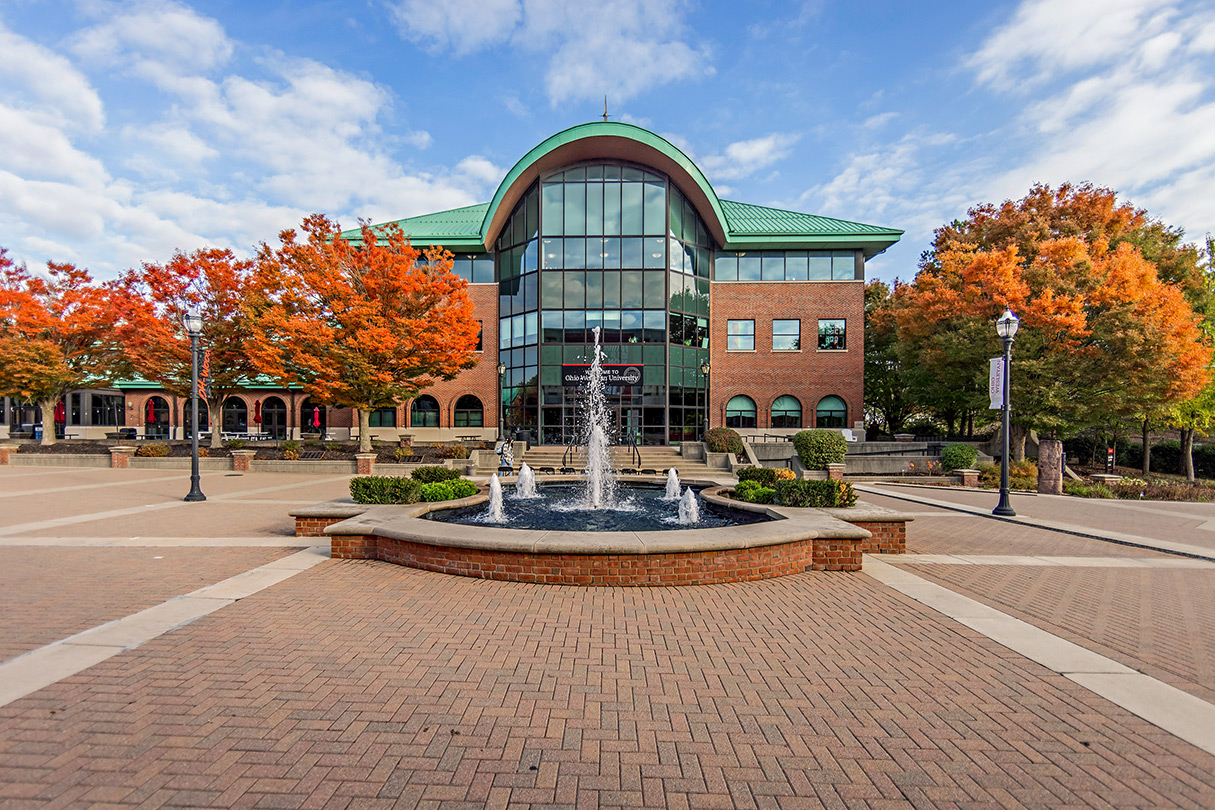  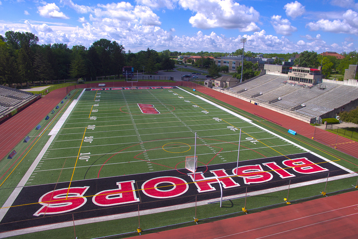 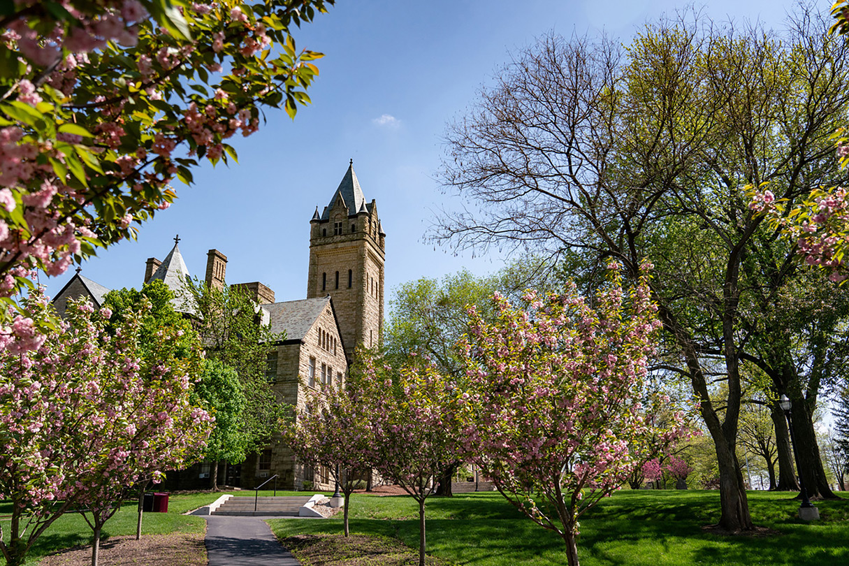     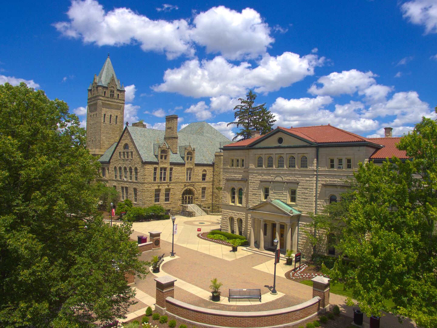 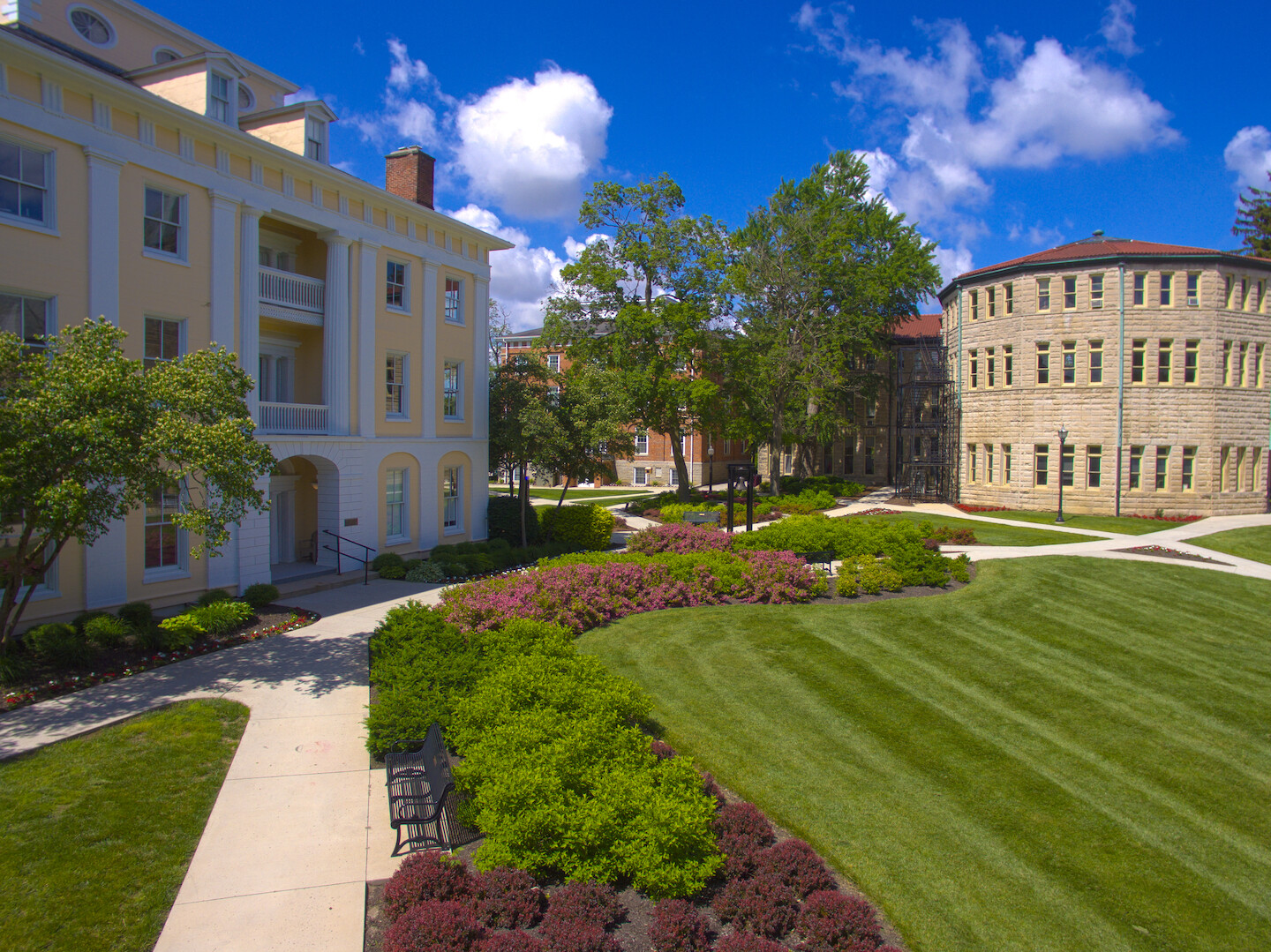 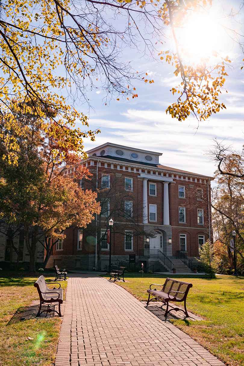  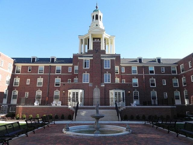  .jpg) 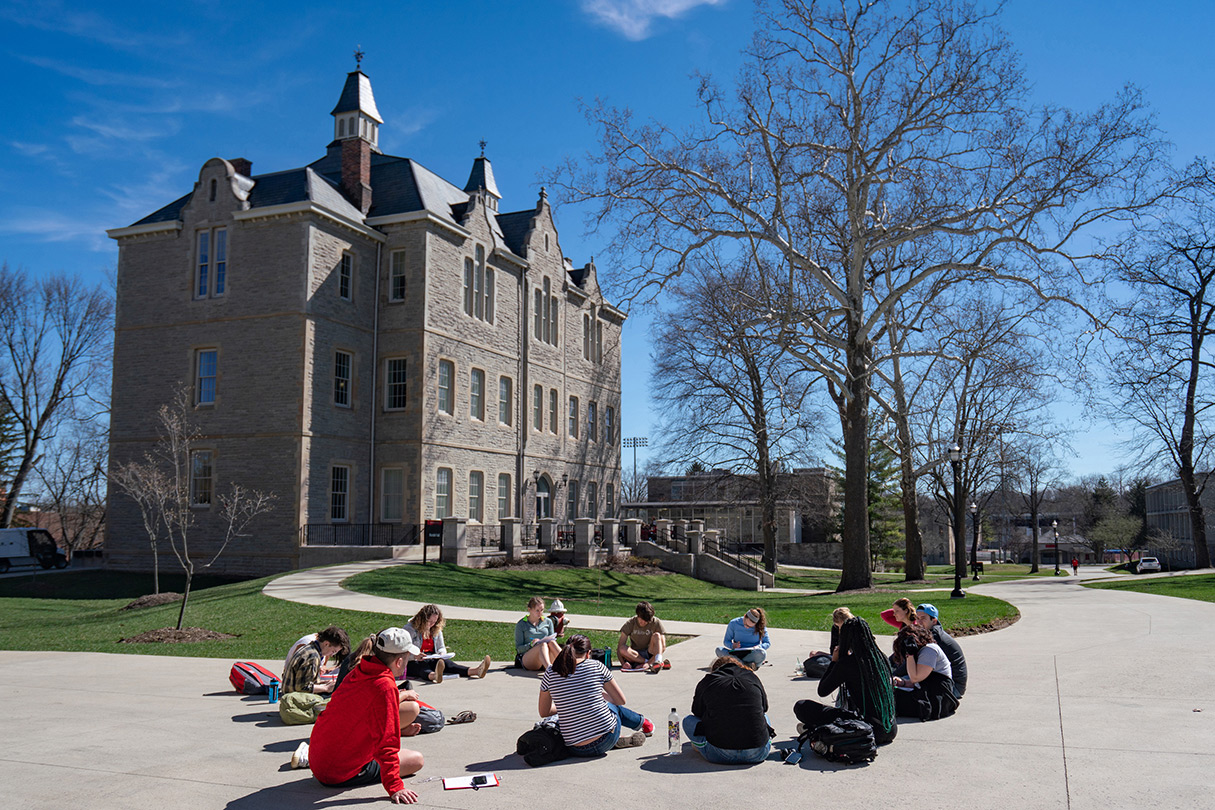     24 varsity sports 96% of OWU graduates are employed or in graduate school 27 countries represented in the student body 30 minutes from Columbus 17 average students per class Making OWU Affordable At Ohio Wesleyan University, we can help make your college education affordable—99% of students receive some form of financial aid. All students are considered for OWU’s academic scholarships ranging from $15,000 to full tuition. Plus, our Admission and Financial Aid staff will work with you personally to consider every form of aid for which you may be eligible. On average, our students receive $45,000 in scholarships or aid per year. Learn About Financial AidReimagined College Academics All our students begin their time here without a declared major. You have plenty of time to decide, change your mind, or join almost a third of our students who choose two majors. At OWU, you get to explore, test, and decide on a major that matches your interests, abilities, and skill sets and leads to one or more career possibilities. Explore more than 70+ program options! Explore Majors & MinorsWhy OWU? Get ready for the Oh-Wooo spirit! We’re rich in tradition with events like our Day on the JAY celebration. We have a national reputation, according to the many rankings we’ve earned by U.S. News & World Report, The New York Times, The Princeton Review, and more. Plus, the OWU community is friendly, supportive, inclusive, diverse, active, helpful, and feels like home (a real description from students!). Not to mention, we breed successful alumni: 96% start a career or grad school within 6 months of graduating. Discover The Possibilities |